
Country Management and Ranger Programs
There is a growing demand for the digitisation of information collected by Indigenous ranger groups working on Country.
Our team has experience working across heritage, anthropology, native title, and the public sector, and we are well aware of the challenges ranger groups face when it comes to planning, managing, and reporting on their land and sea efforts.
IPA Ranger Program Reporting
Reporting on progress against your Healthy Country Plan using a Monitoring, Evaluation, Reporting and Improvement (MERI) framework can sometimes feel like just another item on a lengthy to-do list. But good reporting isn't only about complying with funding requirements. Your staff want to see that their effort is moving your organisation toward its goalsyour coordinators and admin staff want to be able to see all the data collected in one place, your Board wants a clear picture of the current state of Country so they can make an informed decision on what to do next, and your Traditional Owners want to know that the targets they've identified as important are being met.
Setting up an integrated GIS doesn't just make reporting easier. It gets your rangers, Board, Traditional Owners and other vital stakeholders on the same page, working towards the same Healthy Country targets. Activity isn't just activity; it's progress towards targets that compound over time.
Custom Field Applications
Custom applications enable your team to capture the information they need to capture, when they need to capture it.
Winyama can work with you to design filter views, set mandatory fields, and build in workflows and conditions so you capture consistent, well-structured data that can be managed long into the future.
We can help you connect field data collection to your GIS and other software, into user-friendly dashboards and reports so your team and Board have instant, up-to-date visibility of daily activities and monthly and yearly progress to support timely and informed decisions about Country.
If you need support with ranger program reporting or customising your field data applications, we’d love to hear from you.
“Winyama has helped Boodjara streamline activities in the workplace with a comprehensive, user-friendly data logging and performance monitoring solution. The team ensured our needs were always met and regularly exceeded our expectations. Boodjara will work with Winyama again. Their service delivery has proven why they’re the chosen tech developer in Western Australia and a leading Indigenous supplier.”
— Koen Matera, Director of Boodjara
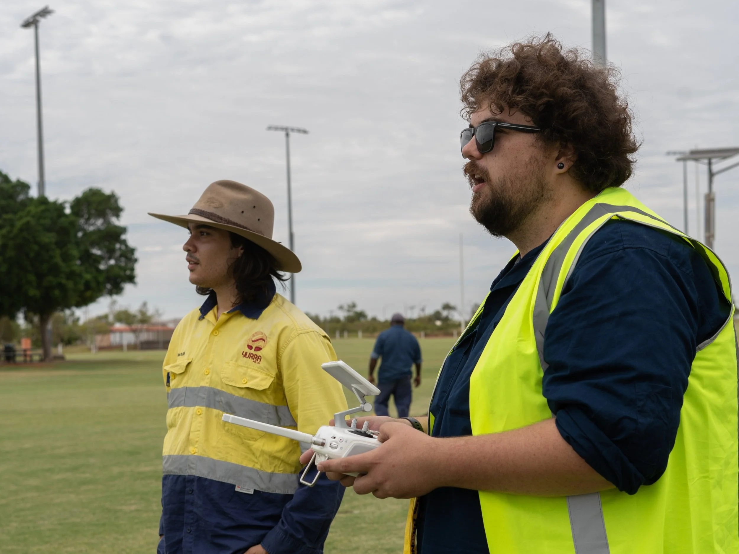
Supporting rangers get in the air with training grounded in your land management projects on Country.
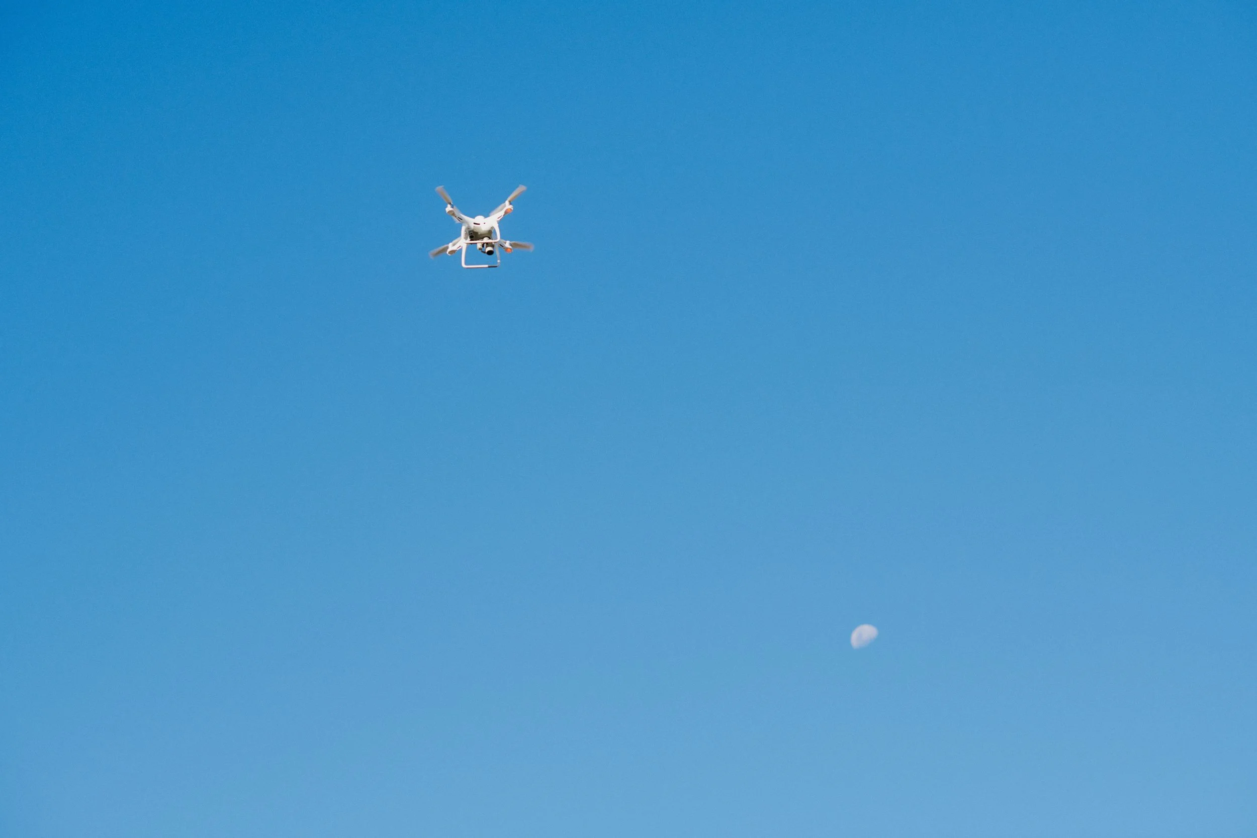
Using a drone to survey and collect data through photo imagery or video footage can be a low-cost and low-risk way to assist you in your care for Country. Instead of spending time driving and walking long distances, bringing your Elders who are less mobile into the field, or trying to access areas that aren’t safe for you or your team, you can use a drone.
Introductory Drone Flight and In-Field Support
If you’re working towards targets in your Healthy Country Plan, Winyama can build an introductory training around one of your key priorities. For example, if your team has been rehabilitating a certain area of Country, we can create applicable training for capturing imagery and footage that can be used in reports to secure further funding. Or, perhaps you are working on protecting areas along your coastline, we can work together on capturing and processing that data for modelling and analysis.
Sessions can be built around:
Site and field inspections
Animal tracking
Canopy surveying
You'll gain hands-on flying experience through work that aligns with your Healthy Country Plan, learn key concepts (without the jargon) and how to identify hazards and risks for flight.
This in-field drone support is a great starting point for any group who’d like to build drone capability amongst their team and identify their internal drone champions who can go on to complete their RePL and ReOC.
Buying a drone for the first time? Before you do, download and read our help guide.


Ranger groups will generally reach a point where they will need to have pilots who hold a RePL certification. Without one, pilots cannot perform any fee-for-service work, secure insurance coverage, and may be severely limited in how much aerial work they can perform for their organisation.
If you’re unsure how or whether this applies to your group, reach out to our team for a yarn.
If you have identified drone champions amongst your team, and you know this is an area of growth for your organisation, it might be time to consider qualification.
RePL Certification Support
Grady is the ReOC-qualified Chief Drone Pilot at Winyama. He is supported by four other RePL-certified pilots on our team. While we are most familiar with the DJI enterprise suite, we are flexible across other models.
Our Pilots
Our capabilities span the full data pipeline from flight preparation, data capture, processing and outputs including:
2D orthomosaics, stills and video.
2.5D outputs like digital surface models and digital terrain models with raster values.
3D models with surface rendering of terrain structures.
Our Capabilities
If you’re looking for a partner who can support you grow drone capability amongst your ranger teams, reach out to Winyama.