Geospatial Capability Building

At Winyama, we help Mob learn data and mapping skills so they can better care for Country and community.

It’s simple, when your team knows how to handle data well, your organisation works better. This is especially important for Indigenous data that comes from talking with Elders and working on Country.

We can help your team work smarter with data, feel more confident in their decisions, and rely less on outside help.

Explore our Geospatial Capability Building Services:

People exploring a wetland area with tall green grasses, one person crouching, examining the plants, surrounded by others standing nearby.
A man with a cowboy hat, sunglasses, and a blue shirt stands on a dirt road holding a dead lizard. The background shows green bushes, trees, and a partly cloudy sky.
Iconography by Jay Hobbs.

Data Governance Consulting

We provide expert guidance on your geospatial data management while ensuring cultural considerations are respected and embedded in every process.

Good mapping skills help Mob care for Country, protect heritage, and make smart decisions about land and resources. When we can collect and manage our own data, we assert more control over its use and can be participate in the digital landscape.

A great place to start is a Deadly Data Strategy. Without one, it’s hard to know what data to keep, who can access it, and how it’s used or protected. A strong strategy provides a clear framework for governance and maximising value.

We help organisations look after their data properly, matching cultural ways with business needs. We’ll look at what data you have, what data you need and how you use your data to create a clear plan that works for you.

Geospatial System Set Up

Winyama sees the significant demands placed on PBCs and the industry-wide challenge of balancing organisational objectives and available capacity. At any one time, PBCs are tasked with actioning land agreements, tenure, Native Title, heritage, and renewables.

We set you up with a geographic information system that brings all of the data you need for these tasks into one place, while showing you how to use it, and giving you the clarity you need to do the work.

If you require additional resource support while building your in-house GIS capability, our team is available for remote support from a half day per week to three days per week, should you need it.

Iconography by Jay Hobbs.

Data for Supported Decision Making

We help you to use digital data to make strong decisions that protect Indigenous rights and interests.

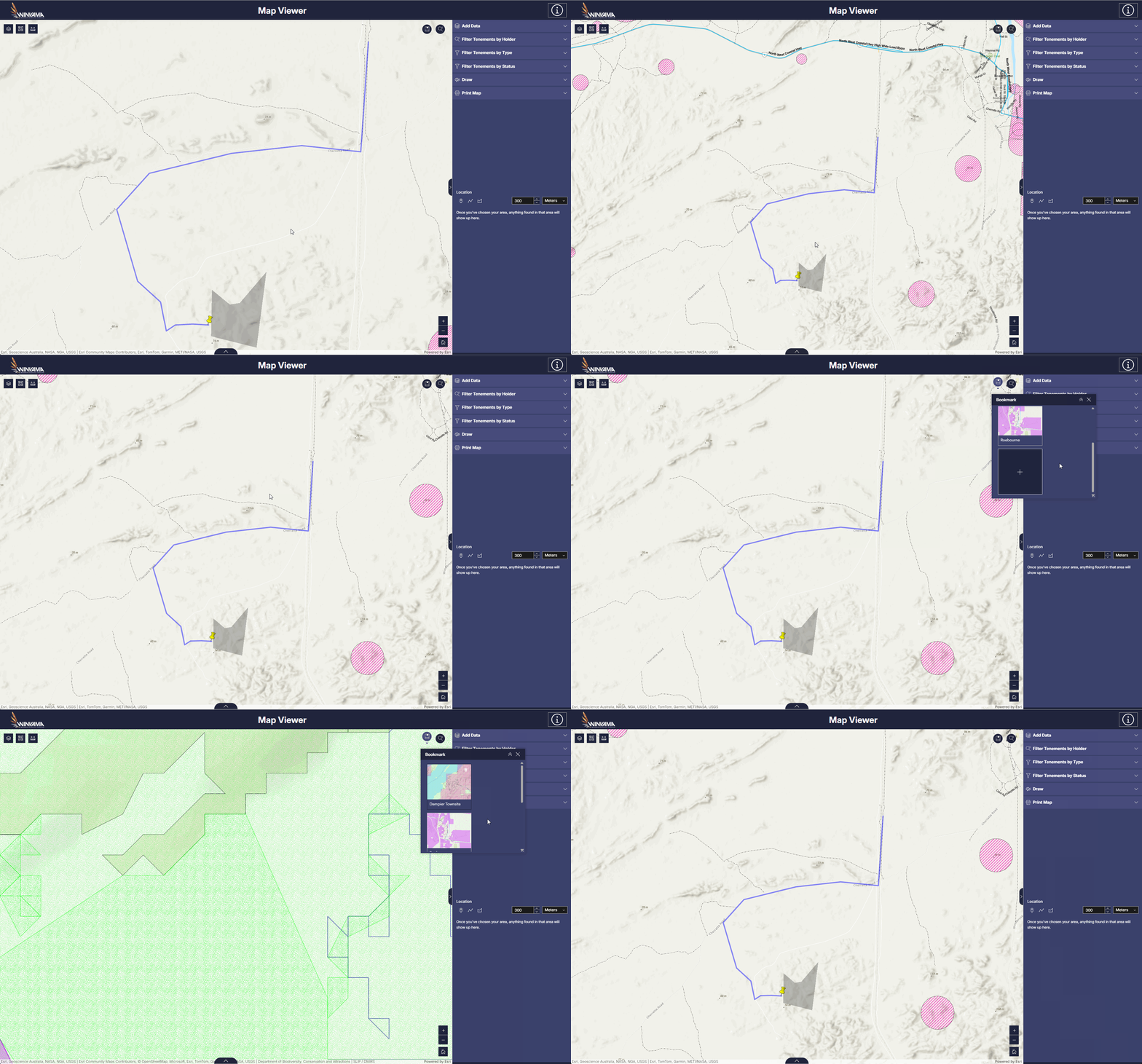
At Winyama, we create interactive 3D maps of Country that bring landscapes to life. These digital maps support clear communication and informed decision-making about land use, aligning with Free, Prior and Informed Consent (FPIC) principles.

3D mapping makes it easier to:

Facilitate discussions with Traditional Owners and stakeholders.

Understand cumulative impacts on land and cultural heritage.

This approach ensures meaningful consultation and supports informed decision-making for all parties involved in discussions about Country.

Plan effective protection strategies.

Navigate project negotiations.

On-Country Mapping and Monitoring

Iconography by Jay Hobbs.

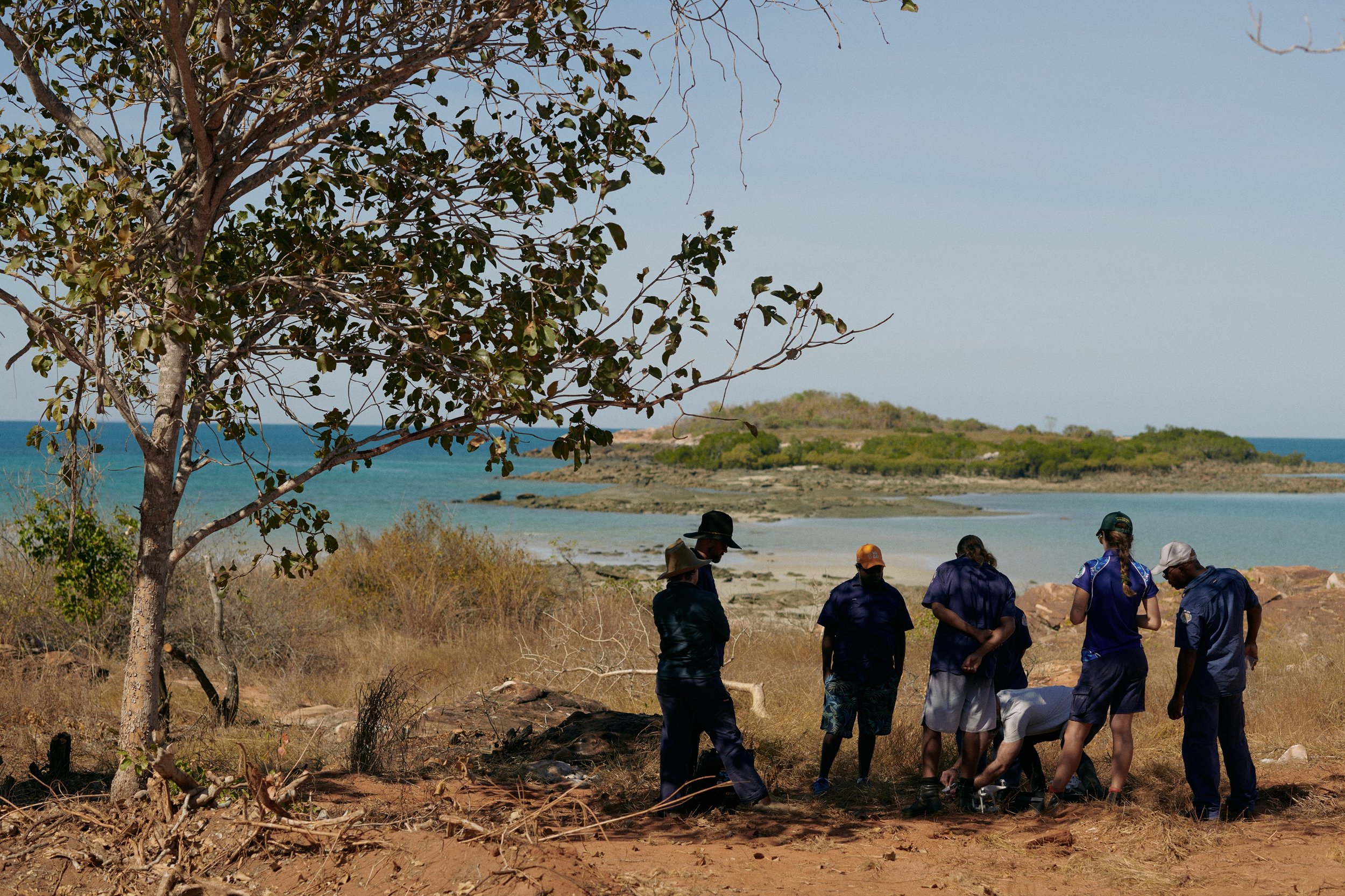
Whether you are capturing cultural sites, monitoring environmental changes, or conducting drone mapping projects, we provide comprehensive support from start to finish of your projects.

At Winyama, we provide all the tools, training and support needed for independent data and monitoring projects. This empowers organisations to maintain full control over their land and cultural heritage information.

Winyama Drone Support:

We offer expert guidance on selecting the right drone and monitoring equipment, with the option for environmental specialist consultation to ensure your setup is optimal for on-Country projects.

Field Data Capture Projects:

We assist with implementing mobile field applications for recording cultural sites and environmental data, ensuring accuracy and ease in the field. Whether you’re using drones or mobile apps, we provide the tools and training to ensure your monitoring efforts are effective and sustainable.

Are you ready to grow your organisation’s geospatial capability?