
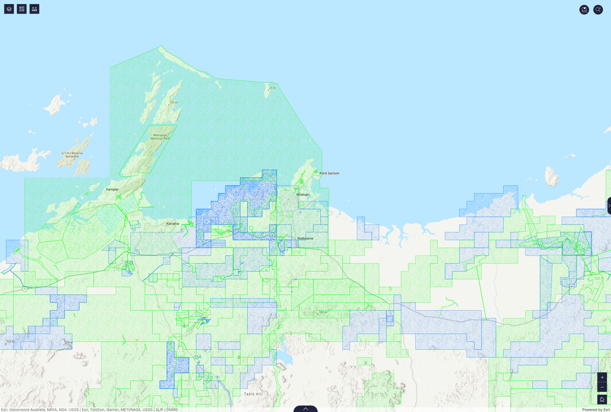
GIS Implementation
Centralise your information to ensure collective clarity among staff, Board Members, community and partners.
Winyama sees the significant demands placed on PBCs and the industry-wide challenge of balancing organisational objectives and available capacity. At any one time, PBCs are tasked with managing land agreements, Native Title, tenure disputes, compensation claims as well as the mighty task of land, water and culture protection.
A well set up geographic information system (GIS), brings stakeholders together around one central source of truth, so decisions can be made that consider all available information, enabling you to move forward with confidence to champion your community's rights and interests.
Built on the leading geographic information system technology
Esri has a suite of systems and applications that suit Indigenous organisation priorities. Winyama can work with you to build a custom ‘stack’ that is connected to your organisation’s priorities like:
Asset management
Land use
Environment and
conservation monitoring
Cultural heritage
Your own GIS supports a self-determined future
To exercise governance over your assets, resources and Country you need to know what you hold. And that information needs to exist in a place that your organisation controls and can access at any given time.
Many of the organisations we’ve worked with have had their data held by external agencies. When we work together, it is our goal to support you get to a place where that capability can be brought in-house.
A GIS that your team feels confident using gets you there and gives you the ability to:
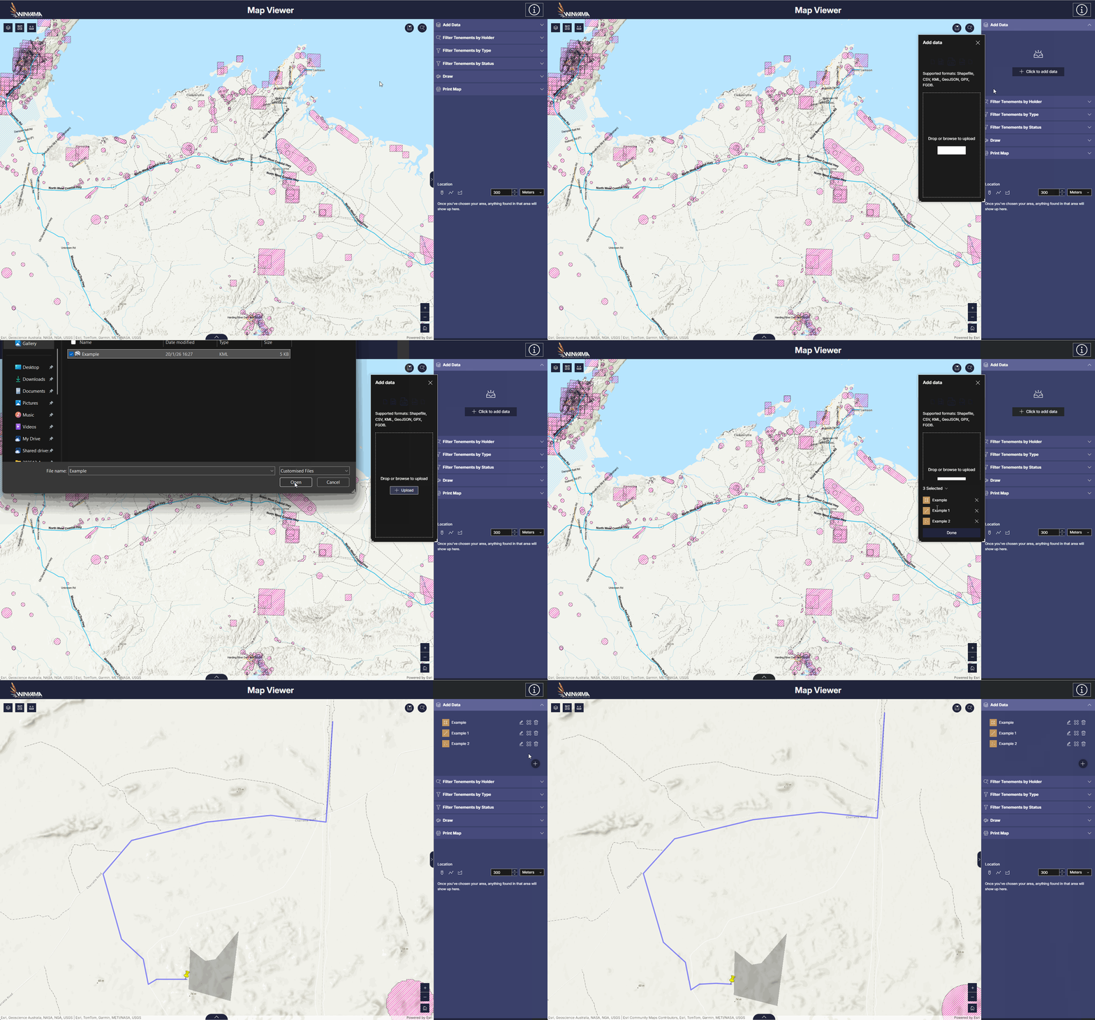
Quickly appraise proposed activities against internal and external datasets

Filter tenements by holder, type,
and status
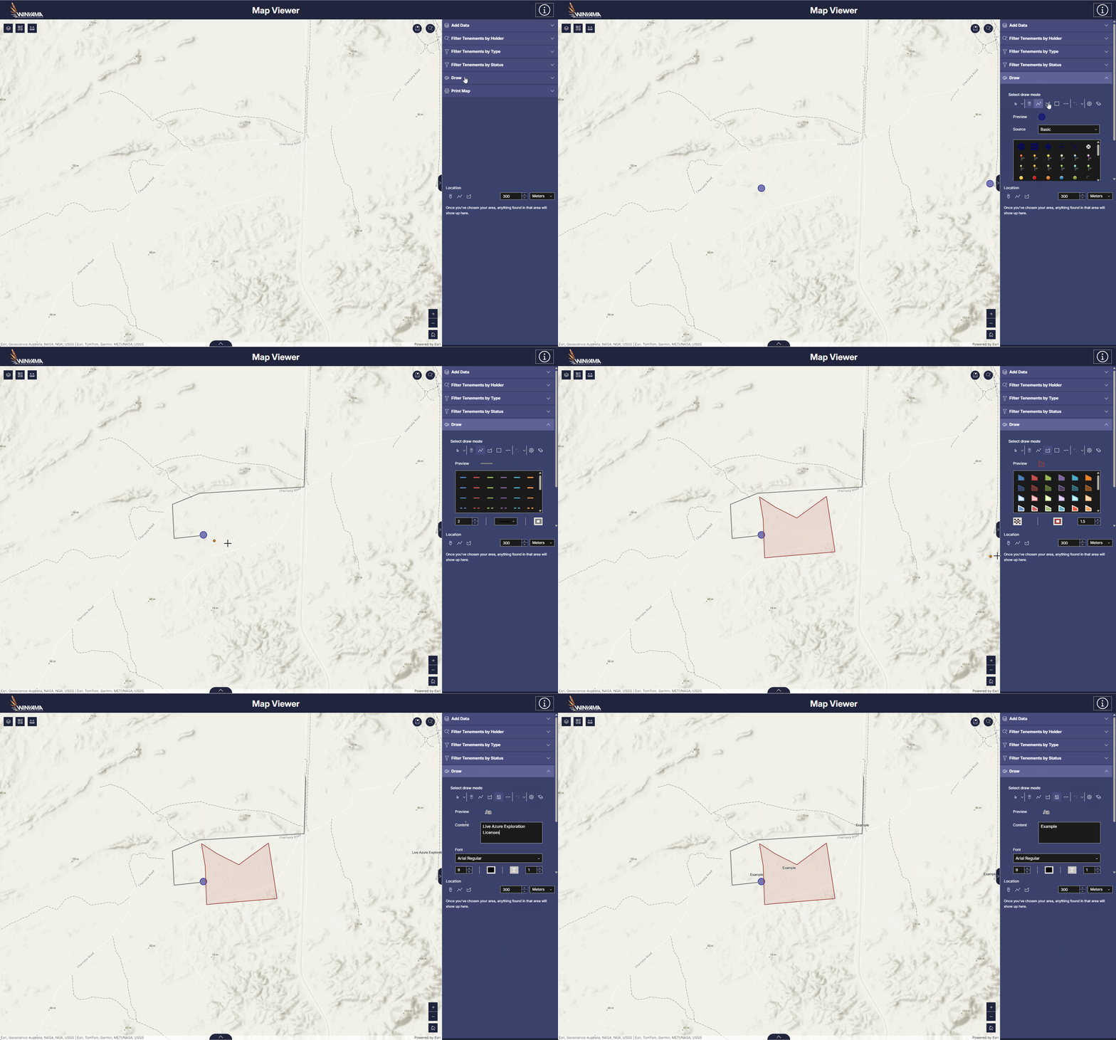
Draw on your map with notes,
symbols and arrows
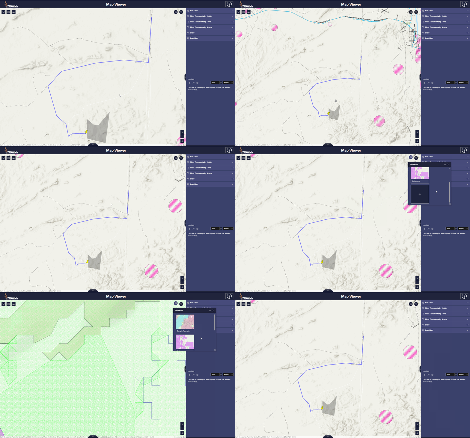
Bookmark project areas
Get a use case example sent to your inbox.

Connect your maps and data to on-Country workflows through mobile apps
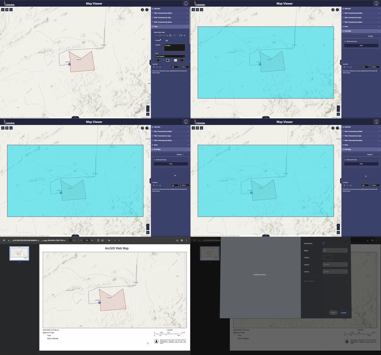
Export and print your maps
Because the system is controlled by you, data stays under the governance you’ve designed.
You don’t have to start from scratch.
Our team can help consolidate years of paper and digital records through data backcapture and work with your team to build a data strategy and process so every new input has a place to go.
Compound benefit by connecting your different divisions.
Winyama can configure data collection applications that streamline your ranger teams' fieldwork and sync back to your operations in the office,
even when there’s no signal.