

Mapping Projects and Products
Maps are powerful tools for communication, enabling organisations to visualise location-based data, patterns and relationships.
Have a bespoke mapping project? Our team works across the Esri suite to create mapping solutions that are visually engaging, secure and intuitive.
Speak with one of our specialists.
Tenure Analysis
Under the Native Title Act 1993 (Cth), native title holders are entitled to compensation for acts that diminish or impair their native title rights and interests.
Winyama can support Prescribed Bodies Corporate (PBCs) to consolidate datasets from government archives and historical sources, translating complex tenure changes, construction dates, and sites of cultural significance into a clear, navigable webmap for legal teams to use.


Drone Imagery Processing and Analysis
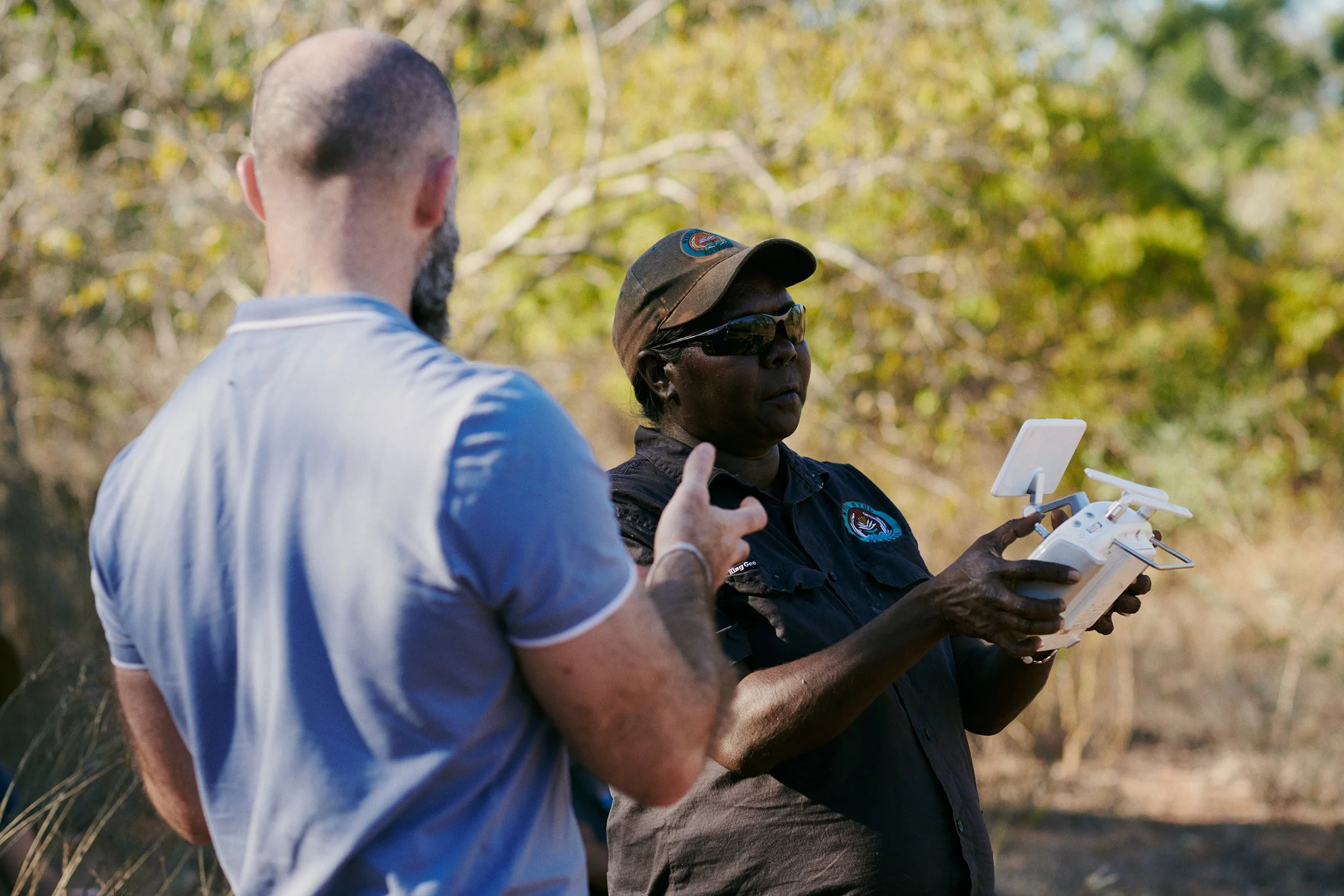
Orthomosaics
An orthomosaic is a drone map composed through stitching together many individual still images of a landscape. The data in an orthomosaic is presented in a similar fashion to satellite imagery; however, when properly processed, it can provide significantly more detail, making it an invaluable asset to regionally based organisations that may not have access to reliable satellite imagery.
Orthomosaics can be used for:
Mapping weeds and feral animals.
Practising fire management regimes.
Monitoring waterways and river systems.
Mapping vegetation.
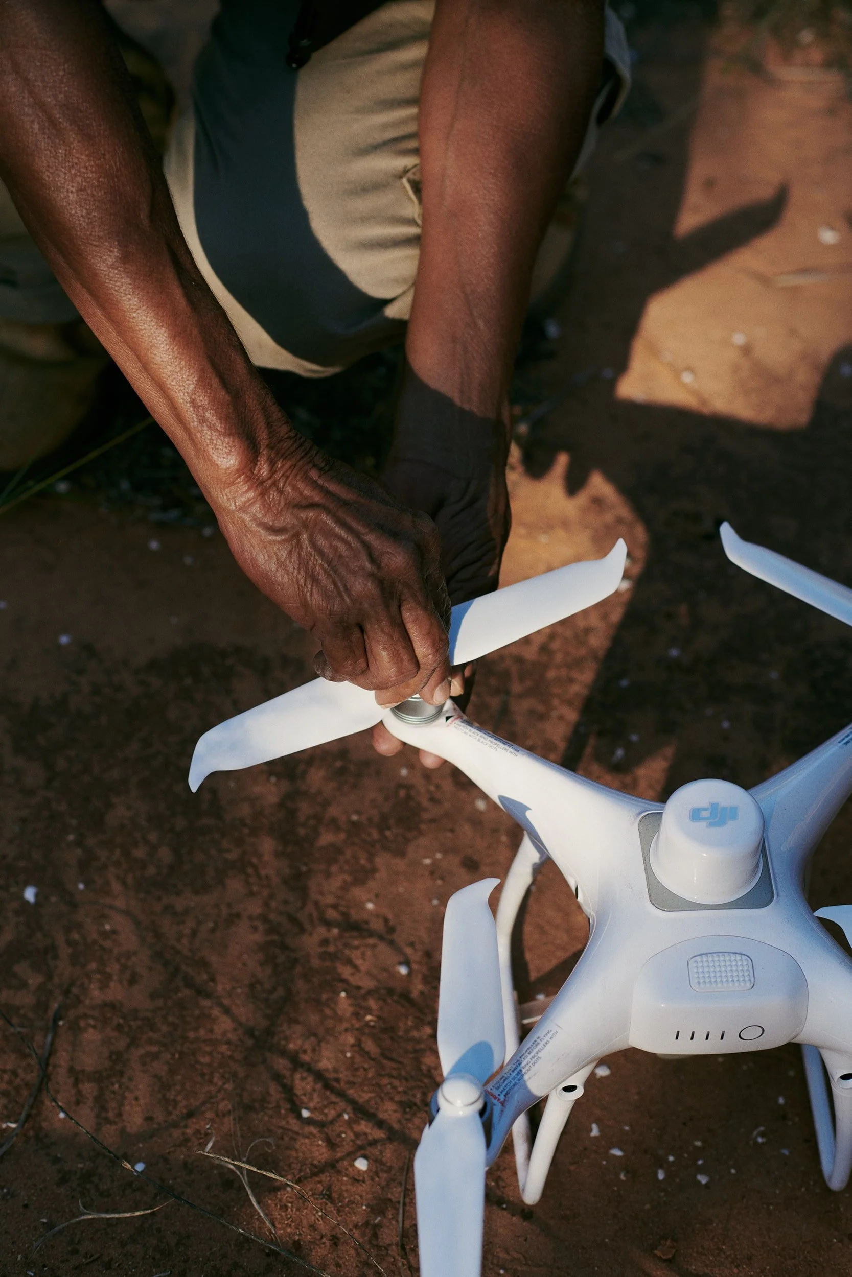
Digital Elevation Models
Digital Elevation Models are three-dimensional (3D) models of the surface of an area of land. Mapping Country in 3D gives organisations a way to evaluate topographies and model environmental changes.
Digital Elevation Models can be used for:
Land and coastal modelling and erosion analysis.
Land management planning.
Industry and community consultation.
Other Solutions We Offer

-
Bring a complex project or personal biography to life by combining spatial data with cultural recordings, historical records and multimedia.

-
Visualise your data with user-friendly online maps your audience can explore. Built-in governance controls ensure only the right people see the right information.