
A Web Map to Support Local Government
Reconciliation WA is the peak body for reconciliation in Western Australia. They provide leadership, advocacy and support to people and organisations making efforts towards reconciliation.
As part of their strategy to support local governments in driving meaningful change with our Aboriginal and Torres Strait Islander communities, Reconciliation WA developed a digital hub named Kolbang Yanginy. Kolbang Yanginy means 'going forward' or 'sharing' in Noongar. Available in this hub are resources for those starting on their reconciliation journey, definitions for terms that staff are likely to encounter - like ‘truth-telling’ and ‘truth-listening’, case studies, information about State heritage legislation and more. Another aspect of the hub is a webmap, developed in partnership with Winyama.
Building Version 2.0
Reconciliation WA had already begun building a web map of Kolbang Yanginy before approaching Winyama. However, to keep their webmap running, they relied on some very manual processes and had staff manually enter data.
Recognising there was room for improvement, Reconciliation WA approached Winyama to automate their workflow and review the data displayed.
Developing the Mapping Layers
The project began with a collaborative discovery phase. Both teams worked closely together to refine the project brief, ensuring clear goals from the beginning. Guided by this shared vision, Grady, a Winyama GIS Analyst, led the development process.
Grady designed the map in a three-tiered structure, guiding users from a macro view of Western Australia down to a local view.
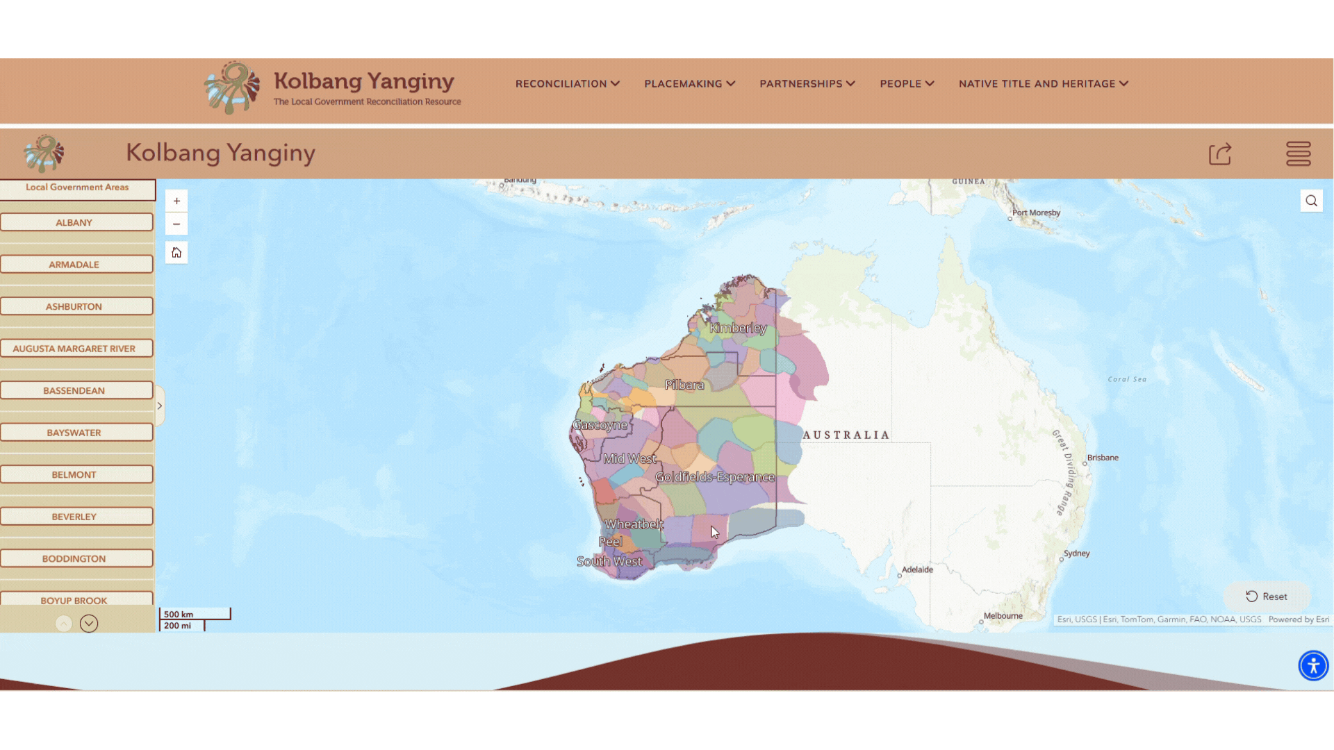
Tier one: A state-wide overview of our Aboriginal language groups and the WA regions. This layer sets the broad cultural context.

Tier two: The Aboriginal language group areas remain visible, but local government boundaries begin to appear.
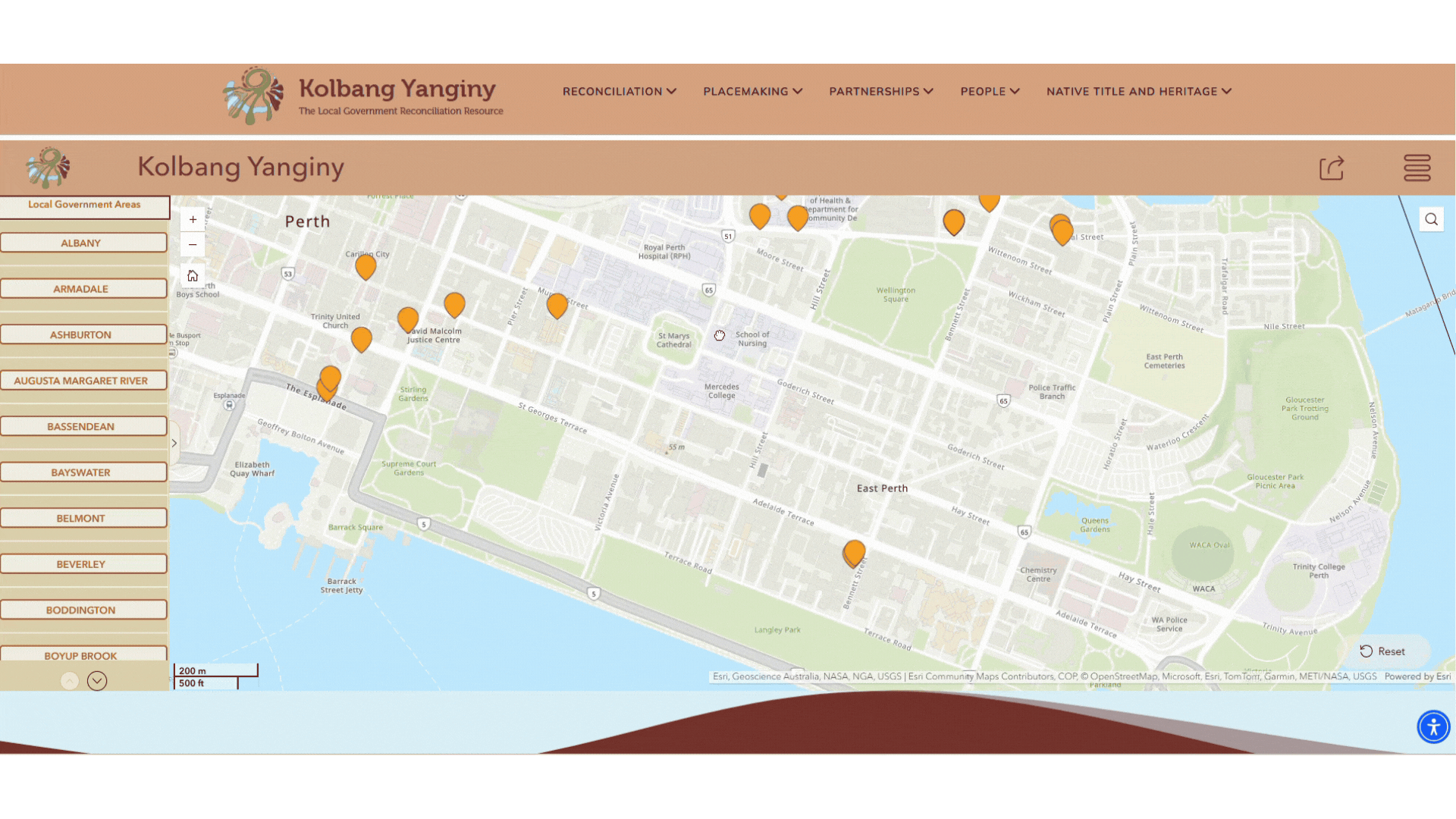
Tier three: Local government boundaries remain, with specific Aboriginal organisations appearing. Contact details available for direct engagement.
This design was deliberate. Showing information in this way was a means of truth-telling.
“We needed to show Traditional Country first. We didn’t want people, when they first looked at the map, to see the colonial view of Western Australia with the local government boundaries.”
Kolbang Yanginy - Now Live
Published in November 2025, the Kolbang Yanginy digital hub is now available to local government and the public. You can find the webmap and other reconciliation resources available on the site.
“We’re really happy with the end product. It was great to get there in such a positive way. We knew the goal of this mapping was to make a change, and I think we delivered on that.”
Do you have a mapping project Winyama can help with?