
Geospatial Service for PBC Country Management
A single source of truth for your staff, Board Members, and community
Centralise your information to ensure collective clarity among staff, Board Members and the community. Whether you’re tasked with complying with Future Acts notifications, negotiating agreements with external stakeholders, or something else, everyone is better informed for better informed decision-making.

Winyama sees the significant demands placed on PBCs and the industry-wide challenge of balancing organisational objectives and available capacity
At any one time, PBCs are tasked with actioning:
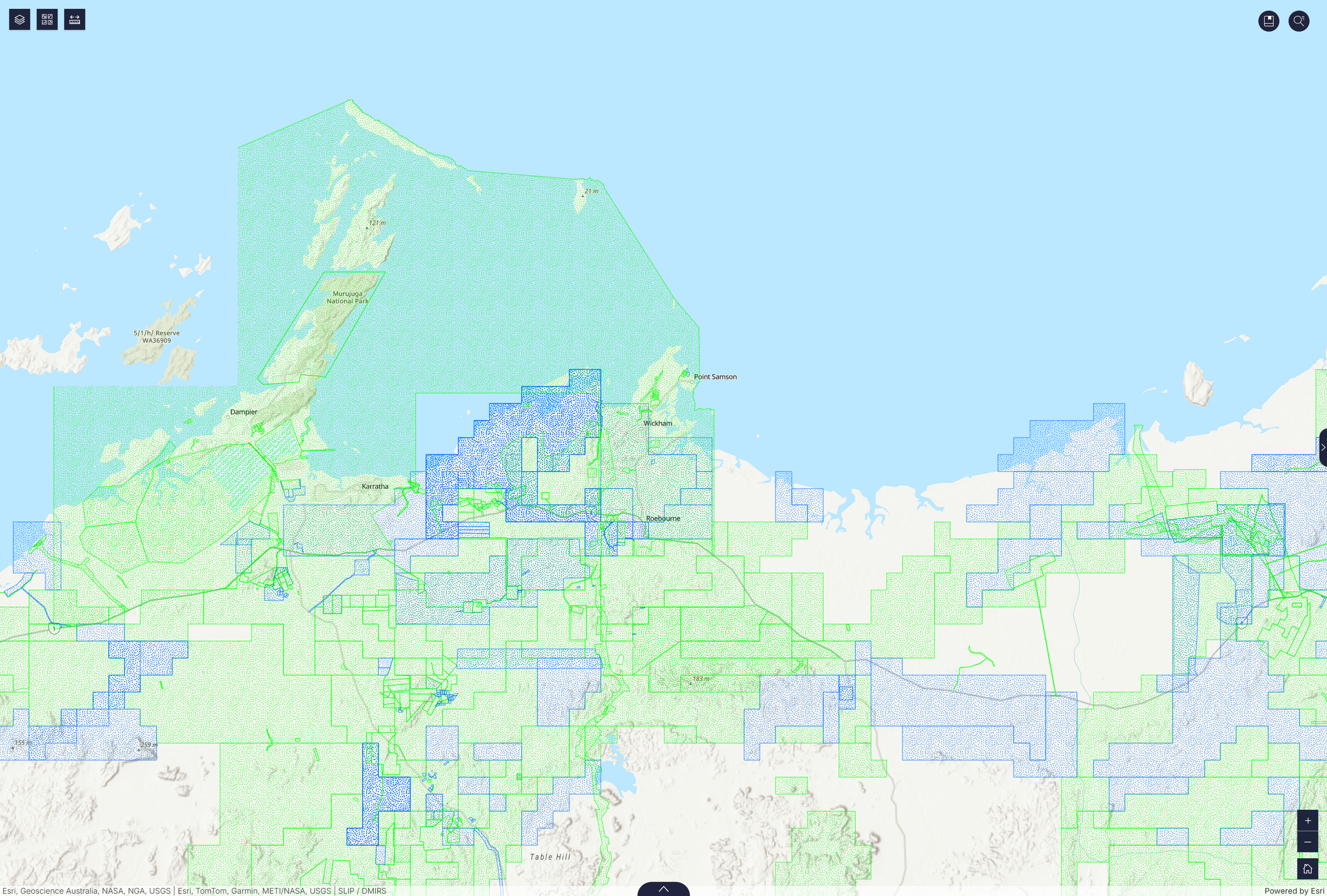
Land agreements
Tenure
Native Title
Heritage
Renewables
Our solution simplifies these processes, giving you the clarity you need to champion your communities rights and interests.
The capabilities
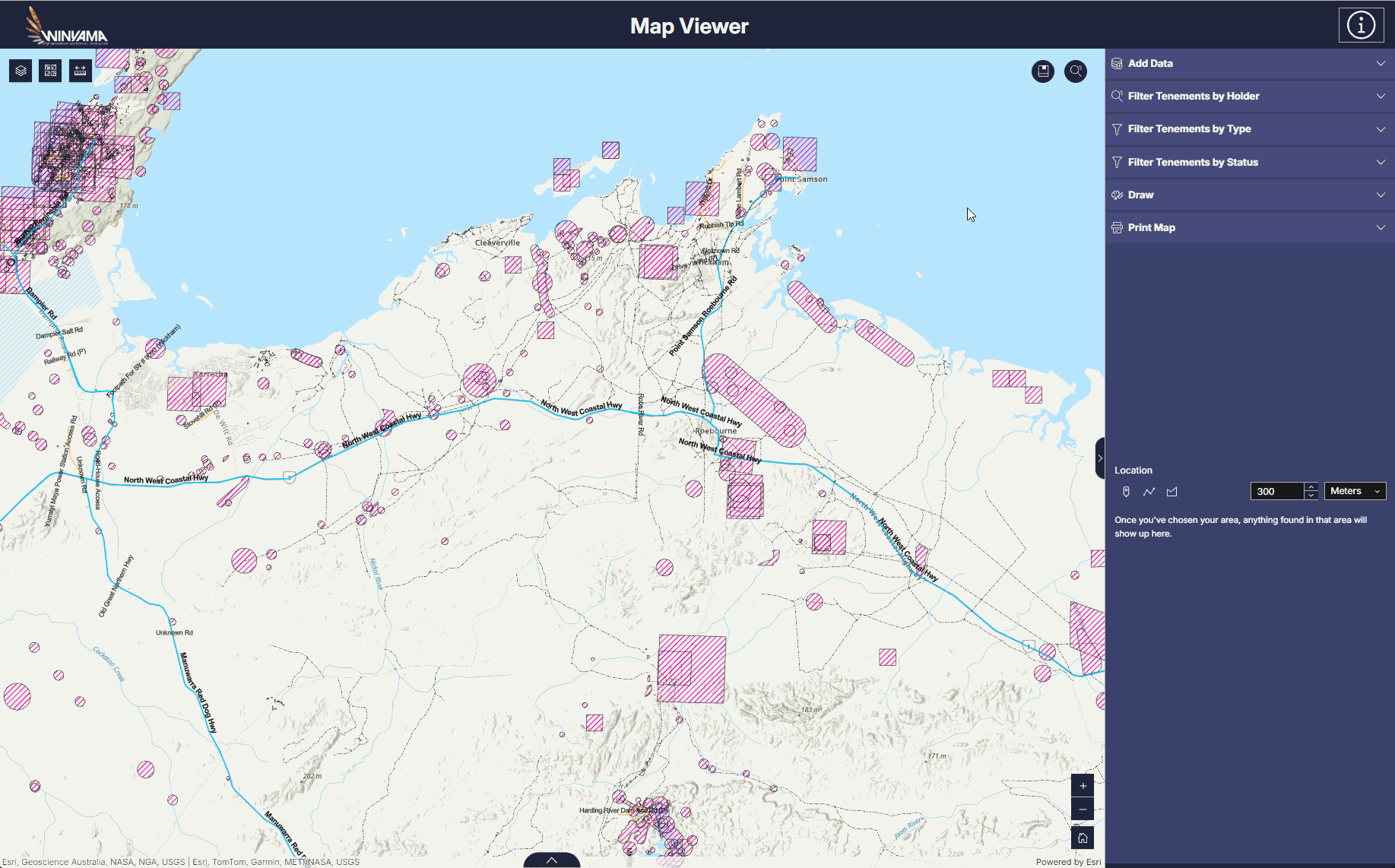
Quickly appraise proposed activities against internal and external datasets

Filter tenements by holder, type, and status
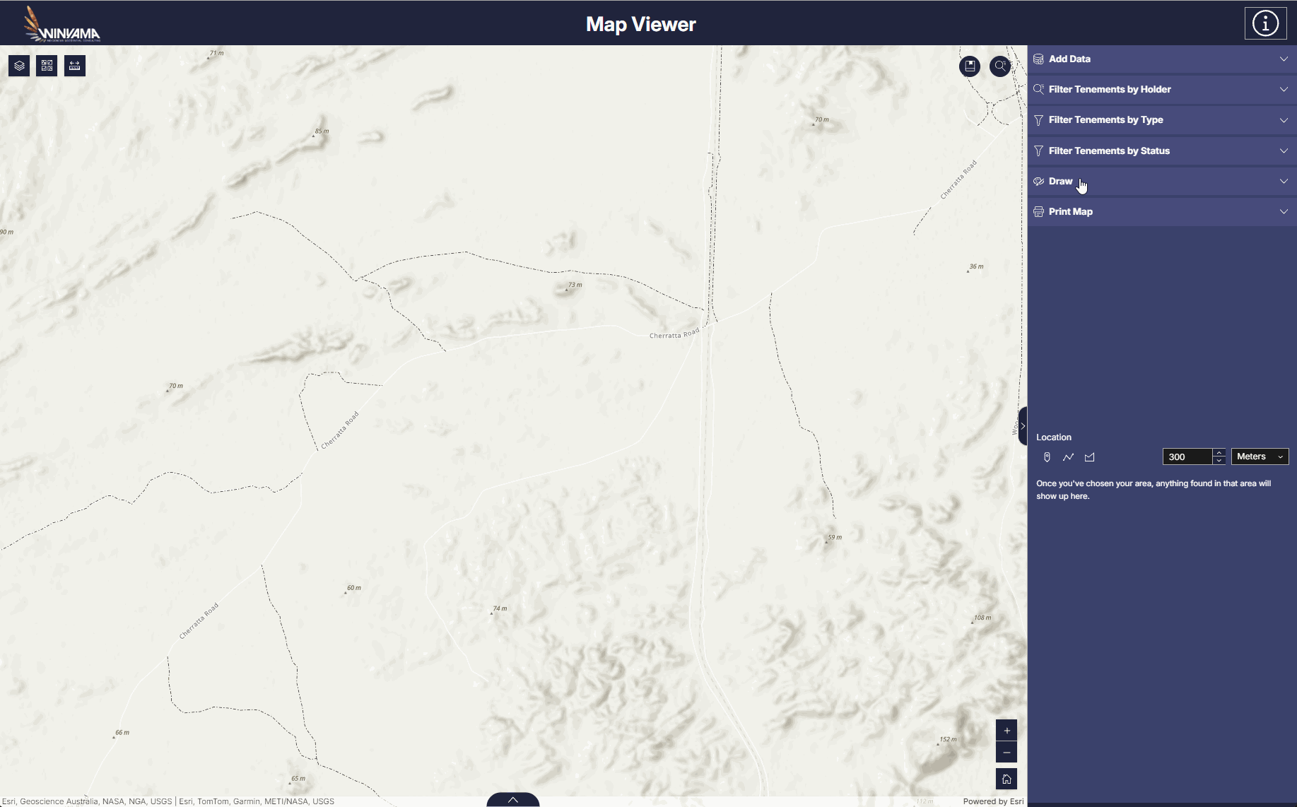
Draw on your map with notes,
symbols and arrows
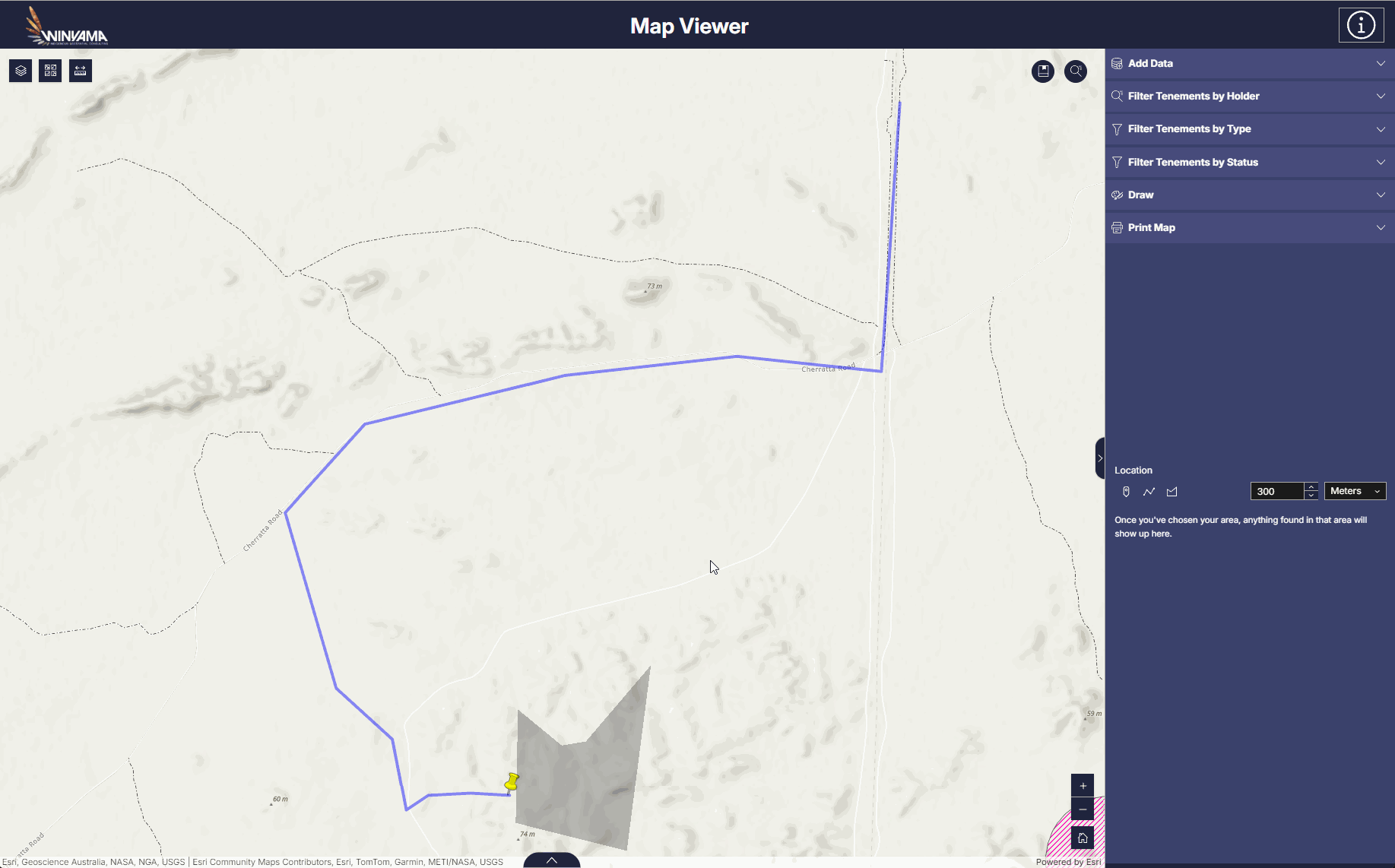
Bookmark project areas

Connect your maps and data to on-Country workflows through mobile apps
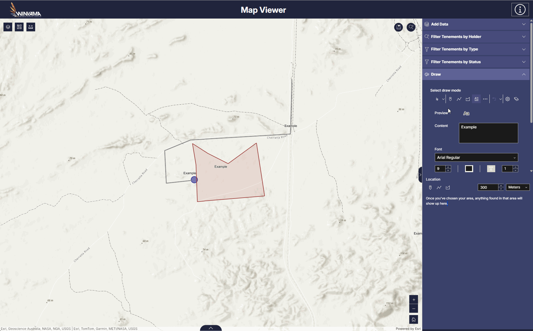
Export and print your maps
Built on a cloud-based GIS
The platform is powered by ESRI, and utilises ArcGIS Online to host your data, and ArcGIS Experience Builder to visualise it. Hosting your data in an enterprise grade cloud solution, eliminates the need for you to manage your own servers and develop your own custom GIS. This significantly reduces costs. Best of all, you are still able to have full control over data access and security through customisable permissions, ensuring your Indigenous Data Sovereignty is respected and protected in the digital realm.
Develop your own tool for Indigenous Country management
No matter the state of your geospatial infrastructure, Winyama can support you transition to a streamlined, all-in-one solution.