
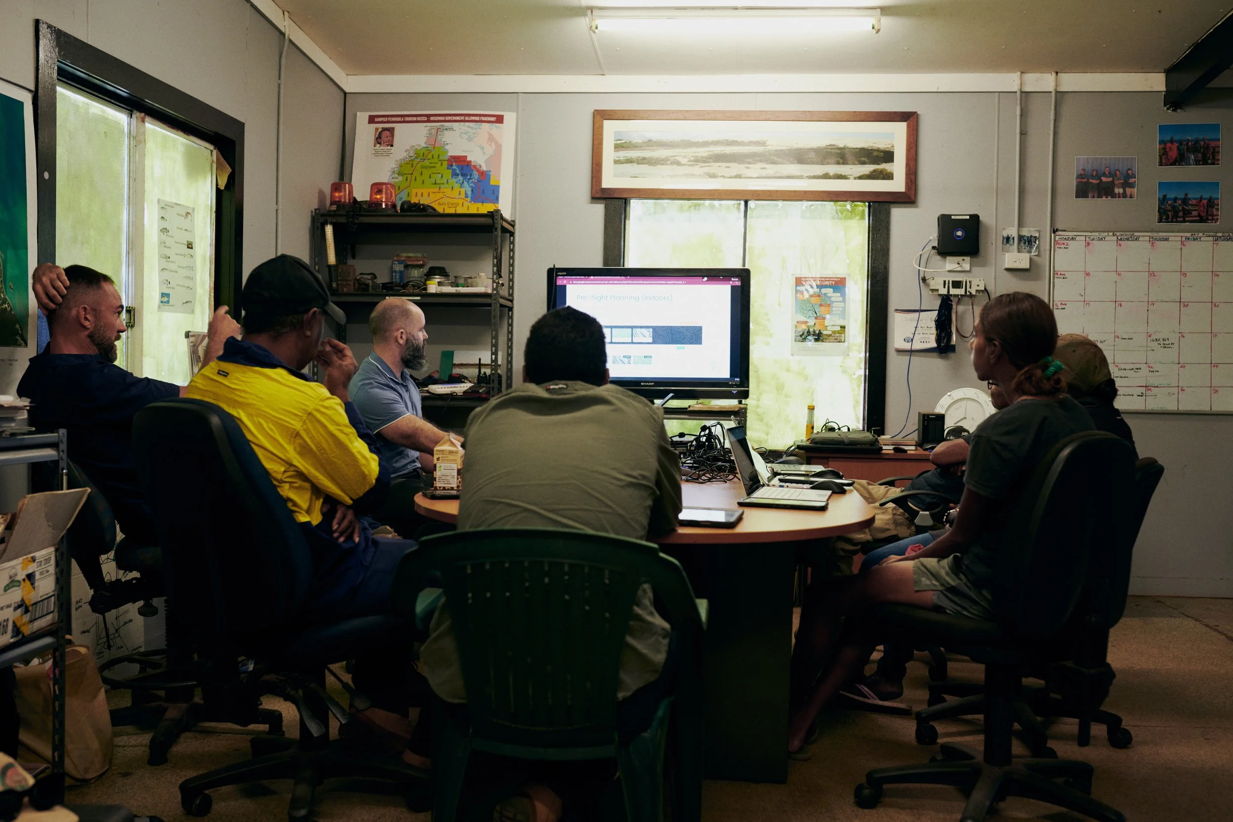
GIS Support
Based in Boorloo (Perth), Western Australia, Winyama has a growing team of GIS analysts skilled in data management, map production and spatial analysis who are available for short and long-term remote GIS support arrangements.
Our team understands that the need for spatial support can be highly varied. For example, you may work on a project-by-project basis and require a great deal of GIS support for a short period of time and little support once the project is complete. Or you may require a steady stream of GIS support but in a lesser capacity. Having a Winyama GIS analyst available can ensure project momentum is maintained and work is delivered on time.
“As a Supply Nation certified partner, Winyama brings cultural insight and a clear understanding of the ILSC’s purpose. Their team offers the breadth of geospatial expertise needed to support the ILSC to deliver on its legislated mandate, providing solutions that are both technically sound and culturally informed.”
— Joel Dillon, Manager - Data and Geospatial, Indigenous Land and Sea Corporation
Our analysts can work with you on:
Identifying opportunities to improve data handling and production techniques.
Producing geographic data reports.
Cartographic production within a digital mapping environment.
Analysing data to track environmental changes.
Converting physical maps to digital.
Integrating GIS software with key business systems like Microsoft, Google, SAP, AWS and IBM.
Get in contact with our team today.
