

Newsroom
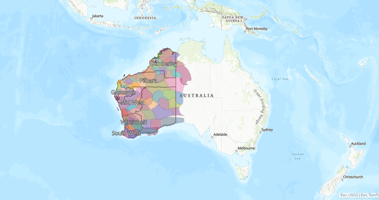
A Web Map to Support Local Government
Reconciliation WA is the peak body for reconciliation in Western Australia. As part of their strategy to support local governments in driving meaningful change with our Aboriginal and Torres Strait Islander communities, Reconciliation WA developed a digital hub named Kolbang Yanginy and engaged Winyama to develop an interactive map for the platform.
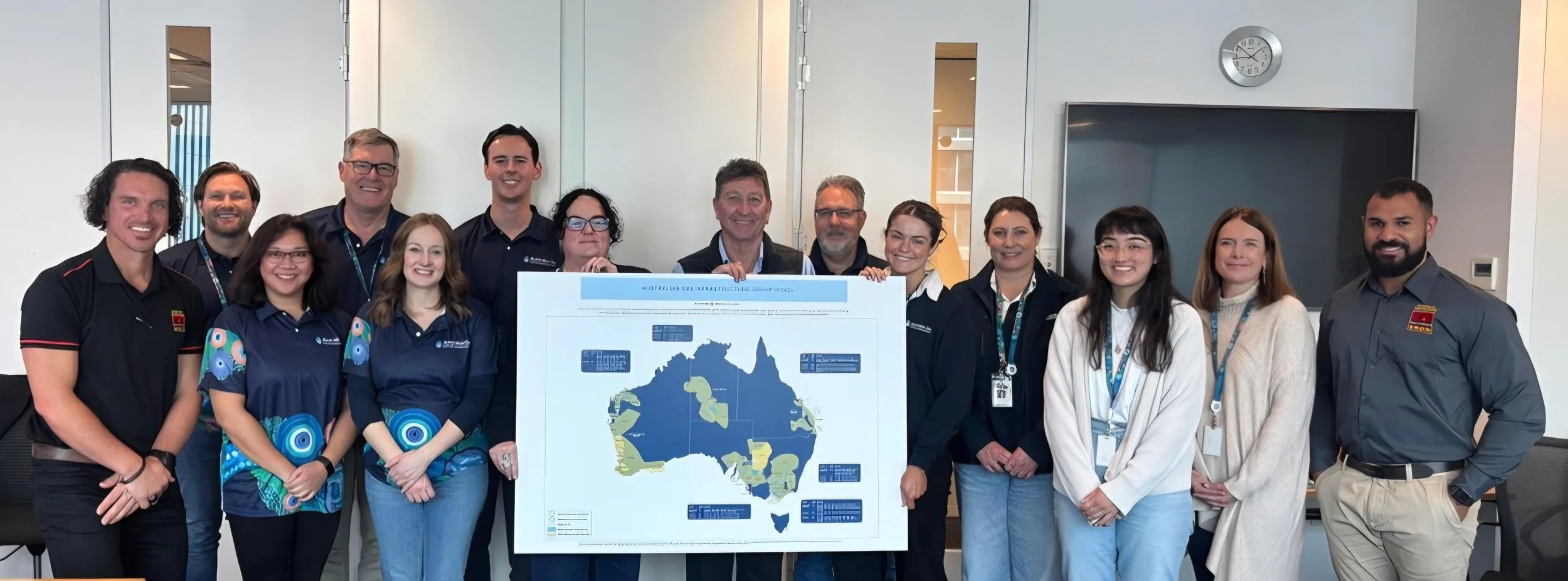
Facilitating Meaningful Acknowledgements of Country With Ngurra Portal
AGIG is one of Australia’s largest energy infrastructure businesses. In 2025, they engaged Winyama to create a digital tool that supports their staff understand the land on which their organisation operates.
Tailored Geospatial Support for the ILSC
The Indigenous Land and Sea Corporation (ILSC) engaged Winyama as an external geospatial partner for geospatial support to help achieve its geospatial related objectives.

Capturing Noongar Cultural Knowledge with Gnaala Karla Booja (GKB) Aboriginal Corporation
In late 2024, GKB reached out to Winyama to coordinate a cultural mapping project for their organisation. The project is a culmination of knowledge from Elders from the region.

A Digital Archive for Future Generations. Cultural Mapping With Karri Karrak
Karri Karrak Aboriginal Corporation is the regional corporation for the South West Boojarah region. In 2023, they engaged Winyama for a cultural mapping project with a focus on capturing oral histories, cultural practices, traditional land use, and significant sites. Read more about the project here.

Using a Digital Twin to Map Heritage for Yamatji Marlpa Aboriginal Corporation
YMAC is responsible for providing a range of professional services to groups of Traditional Owners of the Pilbara, Midwest and Gascoyne. One of those services is heritage mapping. With the need for heritage mapping rapidly increasing in Western Australia, YMAC contracted Winayma to help meet the needs of the Aboriginal communities they represent.

On-Site GIS Support Western Australia’s Public Transport Authority and METRONET
A partnership between METRONET and Winyama alleviated the need for the PTA to continuously outsource GIS professionals, closing the loop on a previously time-consuming process. This arrangement meant that Winyama staff were seconded out to support the Public Transport Authority’s project demand.

3D Visualisation Tool Transforms Coongan Cultural Awareness Training
Coongan partnered with Winyama to update their Cultural Awareness Training with an interactive 3D map of Nyiyaparli Country. The solution shares culturally approved stories, native title boundaries, and site-specific insights with it’s users. Find out more about this project.